Looking to see some of the real life locations used in Home and Away, but are too strapped for time to journey around them all? This trip plan should take you around some of the main locations in the quickest route possible.
Road Trip
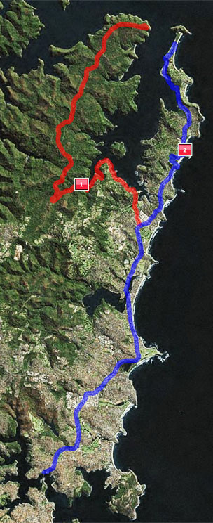
If you’ve got the handy use of a car then there’s quite a few other places on the way up from Sydney which aren’t more than a few minutes from the main road to Palmie. Colours in the route correspond to the colours on the map opposite.
If you’re driving up from Central Sydney then you’ll most likely be heading over the Spit Bridge and north up State Highway 10 (Pittwater Road). When you get into Collaroy you can take a right onto Anzac Avenue to go and visit theBeachside Diner, which is overlooking Fishermans Beach a few hundred yards south of the Long Reef Golf Club. From here you can take a walk to the Northern End of Fishermans Beach to see the building they once used as ‘The Palace‘.
Back onto the Highway 10, and once you reach the northern end of Collaroy, just past a bridge going over the Narrabeen Lakes, you can take another short detour by bearing left onto the Wakehurst Parkway (22). After about a mile take a right into Deep Creek Reserve. If you’re a long term fan of the show then this is the place where Michael died.
At Mona Vale, Highway 10 turns into Highway 14 (with Highway 3 going off to the left). Literally 200 yards from there, the road forks, with Pittwater Road carrying on to the left and Barrenjoey Road going straight ahead. You’ve got 2 options here, both of which can take a while:
Route 1 – Pittwater Road (31 mile round trip from Barrenjoey Rd)
Bear left onto Pittwater Road and you’ll be following the southern end of Pittwater. About a mile along you’ll see the entrance to Bayview Park on your right, part of which is the Roland Reserve.
Here you’ll be able to see The Old Wharf that was used for many years on the show until around 2004. Carrying on along Pittwater Road for around another mile and a half you’ll reach Church Point, which is a nice place to stop for a drink. Here the road changes to ‘McCarrs Creek Road’ – follow it for another 2 miles and you’ll reach McCarrs Creek Reserve which is seen very frequently on the show asThe New Wharf.
From here you also have the option of taking a trip into Ku-ring-gai Chase National Park. Carry on from McCarrs Creek for about 1 mile and you’ll see West Head Road on your right. Take it and after about another mile you’ll see the entrance to the park. Follow the road in the park all the way to the top (probably around 8 miles) – during which you’ll see the location they use for Old Yabbie Creek Road. Once you reach the end of the road you’ll get to West Head Lookout which is quite an iconic location on the show – used for Shane’s death, Josie and Jesse’s wedding and many more. You also get one of the best views of Palm Beach and Pittwater around. The road then loops back around to take you back the way you came.
Route 2 – Barrenjoey Road
Alternatively, or indeed afterwards, you can carry on up Highway 14. When you reach Avalon you can take a right just before the traffic island onto The Serpentine, which takes a small loop around to Bilgola Head, another location seen many times in the show, most recently probably being the confrontation between Rachel and Tara.
When you’re back on Barrenjoey Road, and slightly further on in the central hub of Avalon, you could take a left onto Avalon Parade and follow the road around onto Hudson Parade, and then a right onto Delecta Avenue to reach Clareville Beach, which is the home of the original Beach House (though it isn’t up on the site yet).
Further along Barrenjoey Road, about 1 mile from the centre of Avalon – you can take a right onto Whale Beach Road, where about 200 yards up on the right hand side opposite Albert Street is the location of the Hunter House and the Bachelor Pad.
Back on Barrenjoey Road, and just after the junction with Whale Beach Road, you are officially in the suburb of Palm Beach. Hitchcock Park will be visible on the left of Barrenjoey Road – this goes on for around 1000 yards after which you will see a small road on the left, Etival Street. A very short walk down here will take you to the original Bayside Diner, the last house on the right overlooking Careel Bay (this is also visible by boat if you happen to take one out).
From here you simply follow Barrenjoey Road and you’ll find yourselves in the main hub of Palmie with the Ferry Wharf, Barrenjoey House and many shops. Carry on along the road and up the hill, when you come back down the other side you will be in more familiar territory as the road loops around and onto Palm Beach itself. Just on the bend are 2 entrances to Governer Phillip Park, the first entrance takes you to the Seaplane Wharf and Station Beach, the second takes you past the Surf Club, before they loop around onto each other.